Housing pre-WW1
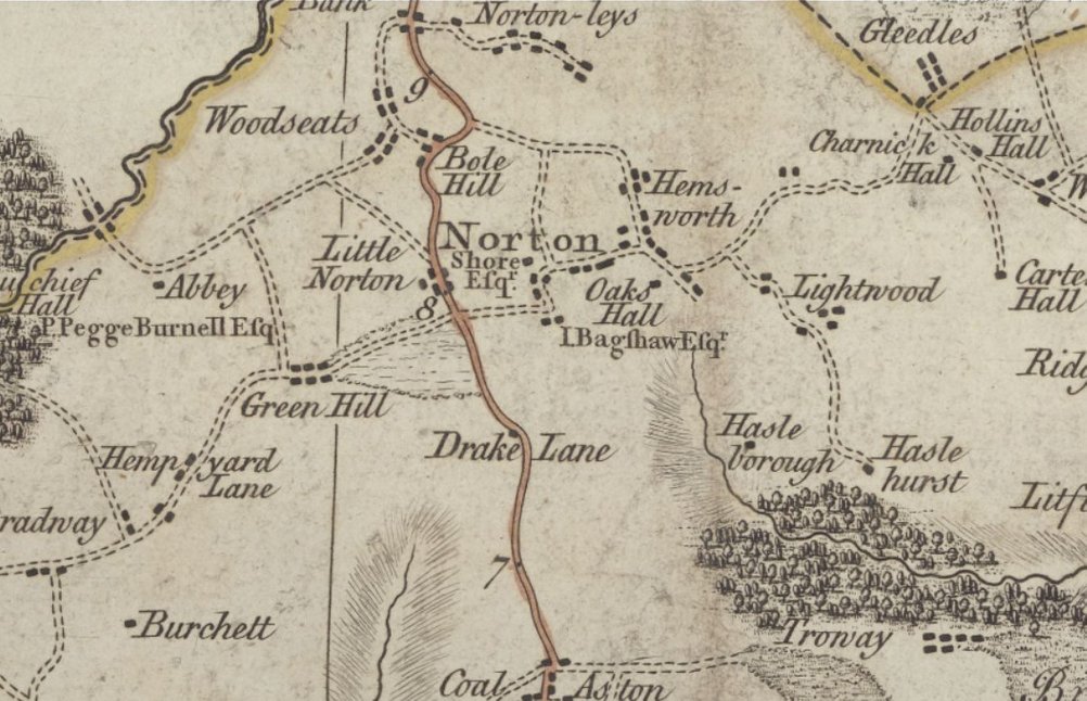
Burdett's map of the 1700s (above) shows the extent of... development at that time. There are a few individual dwellings shown - with a few "big houses" along with farms and a few "farm workers' cottages.
Note the names of certain landowners - e.g. Shore at Norton, and Pegge-Burnell near Beauchief Abbey,
At Little Norton, (in the OS map of 1876 above) the structures shown were all farmhouses and outbuildings with an additional 2 blocks of farm workers' cottages to the southeast side of Norton Lane.
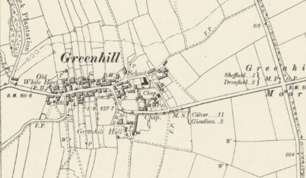
Greenhill
There was more development shown on the OS map of 1899 in Greenhill, but the cross roads at 4 Lane Ends on "Greenhill Moor" remained "untouched" - as shown in the map to the right.
Some maps aroung this time name thie moor as "Grennel Moor".
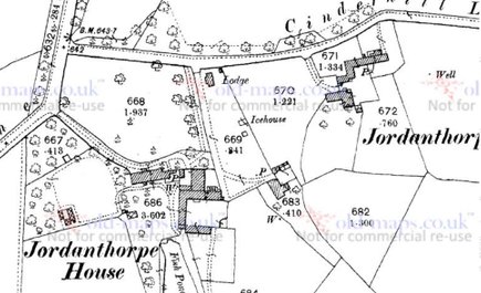
Jordanthorpe
The 1890 map of Jordanthorpe is similar. There were 2 farms - Jordanthorpe Farm and Jordanthorpe Hall Farm, along with Jordanthorpe Hall and its and outbuildings (including a lodge and ice house) as the only buildings shown.